
One of the interesting challenges I’m finding with this collection is determining where a given photo was taken.
Needless to say location tagging didn’t happen on 35mm slides and metal frames don’t provide for written notes. Unfortunately we don’t have any slideshow write-ups and the order of the slides is also suspect after 70 years. Something I’m keenly aware of because I remember playing with them when I was eight.
Some Examples
Here are a few of the images I’m working with.
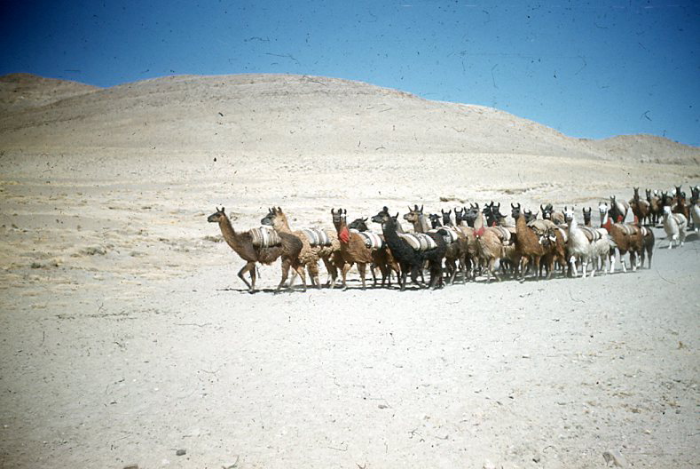
They drove through the Altacama and in 1954 and there is are many reports about the gravel roads and arid region. Even without using any tools, a safe assumption is that this is in the Altiplano in the Andean region of Bolivia, Peru or Northern Chile.
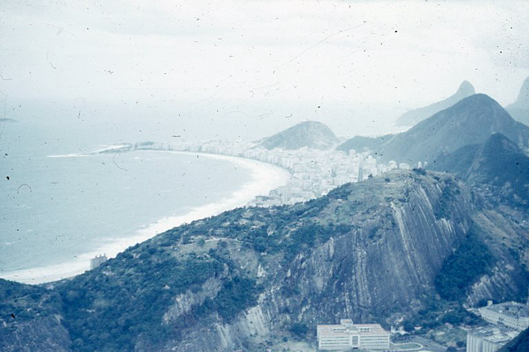
An image like this is easy and the modern version can be found posted on Instagram everyday.
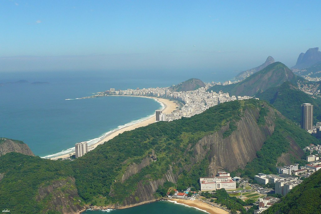
It took Google Lens about 3 seconds to provide over 50 to review. No need to contact friends in Brazil.
Equally if there is a landmark building, Lens is quick to identify it.
It is harder when there are people since clothing styles and the traditional carts are not as distinct across the region.
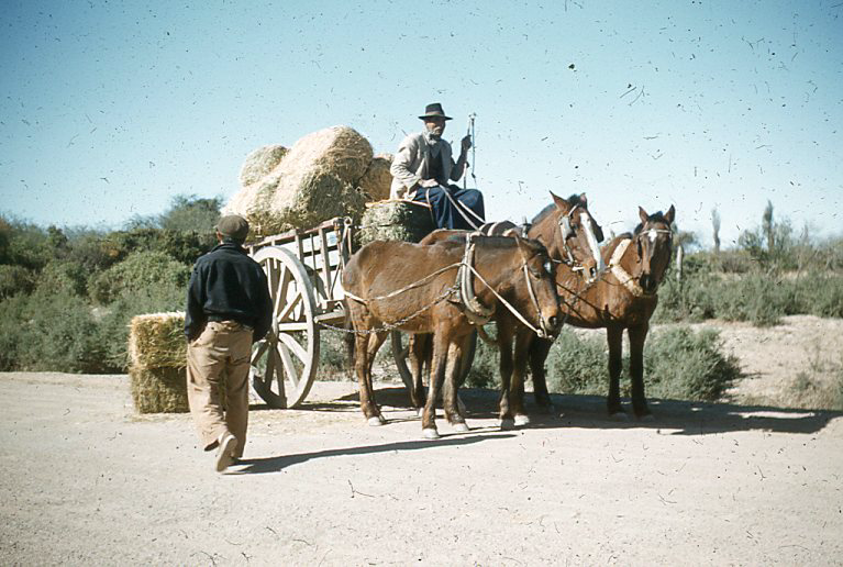
ChatGBT did an impressive analysis of the landscape, cart even noting the pants of the person in the foreground were typical of the time and region. Of course its first answer was “If this was along the Pan-American Highway in 1954, the location could be anywhere from Mexico to Argentina.” To its defense, it later sayd Agentina or Bolivia were most likely.
I’m starting to dig in on this project and having fun. And realizing I just might have to drive it to see for myself. Great example of the past inspiring the future!
Leave a Reply